


A geographic information system is a system for managing, analysis and display of geographic knowledge that is structured in different sets of information:

interactive maps.
They provide an interactive view of geographic information that allows to answer specific questions, and present a result of these answers. The maps provide the user with the tools needed to interact with geographic information.
Geographical data.
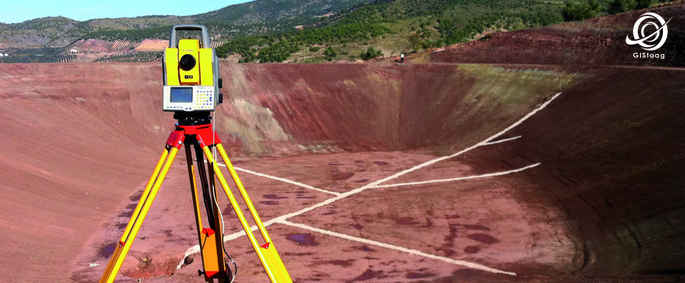
vector data and raster is included in the database, digital terrain models, linear networks, information from surveying, topologies and attributes.
Geoprocesamiento models.
They are process flows to automate recurring tasks with f ...
Read more...
Recent Comments