


- Consulting GIS water quality.
- Study using GIS applications of irrigation networks, urban water supply and purification.
- Creating GIS on specific customer needs agronomy / forestry level (comprehensive assessment of Resources: crops, land uses, forests, slopes, erosion, geomorfología, inundabilidad, risks and environmental impact, etc.).
- Study using GIS applications of irrigation networks.
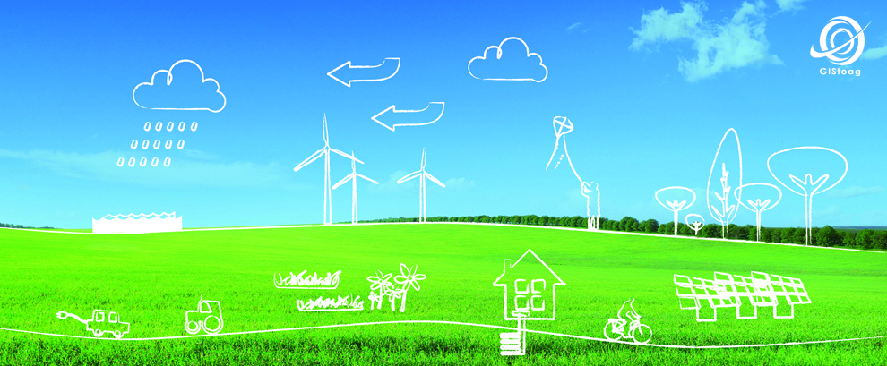
- Rationalization of energy systems.
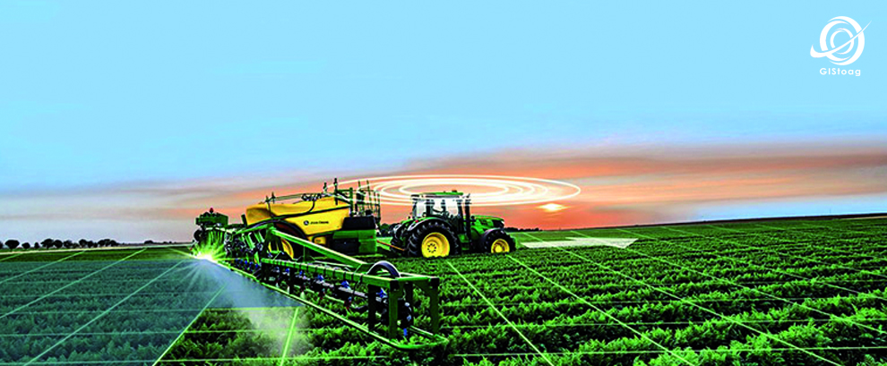
- GIS applications for crop modeling.
- GIS applications for study of saline land
- Remote sensing applied to GIS (Water, farming, forest management, environment, regional planning)..
Quiere compartir este post....


Recent Comments